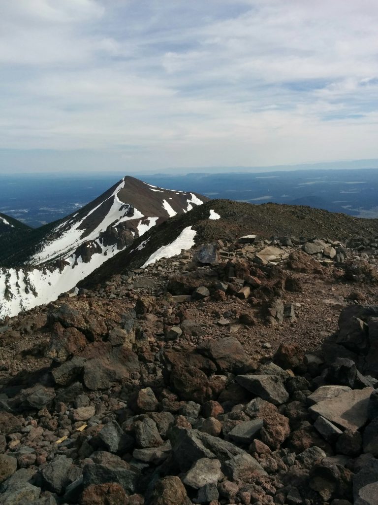
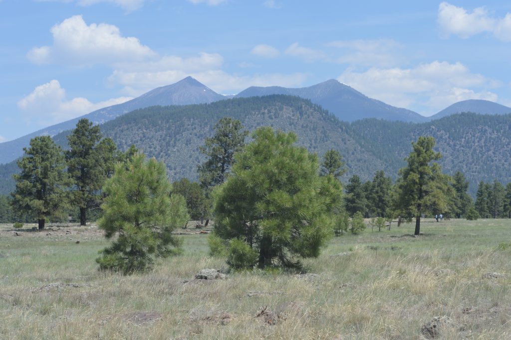
A goal of mine on this RV trip is to see how many highest-point-in-states I can climb. In April I drove some 15 miles north of DeFuniak Springs, where the RV was parked next to a Walmart, to “bag” the highest point in Florida, 345 ft. Britton Hill.
But which highest point to climb next? In most states east of the Rockies, the problem is one of remoteness rather than elevation. The highest point would usually require a special stop in the RV, in the middle of nowhere with little for anyone else in the family to do. And out West, the elevations become formidable.
So where did we land but Flagstaff, an oasis of cool at 7,000 feet in the middle of Arizona, just a short drive from the trailhead to the state’s highest point, Humphreys Peak? My research also claimed this to be the “easiest” highest point of any western state. Perhaps true, but I certainly discovered this to be a relative fact.
My first attempt was in late May, earlier than recommended due to unmelted snow. While I definitely did trudge over much snow, my downfall was losing the trail. In my defense, I soon encountered two other hikers who made the same error, and together we hiked first up a service road and then switchbacked up a steep grassy mountainside that skiers enjoy in the winter. We arrived, exhausted, at the top of the ski-lift at 11,500 feet elevation, only to be told that Humphreys Peak was on the other side of the valley.
We did get a free, very scenic ride down the ski-lift, but all three of our ill-fated party had to admit defeat. My two companions had to return home the next day, one back to Phoenix and the other all the way to Sweden, but in the days that followed I became resolved to make good on a second attempt.
I had no tope-map of the area and there was of course no cell coverage in the wilderness, but I studied the route. So when I lost the trail in about the same place, I knew which direction to head – up the mountainside. This proved quite a lung-burner, but finally I spotted a hiker traversing the slope above. I’d found the trail once more!
That problem solved, I kept on until I reached cold, rocky and windy tundra and finally Humphreys Peak at 12,633 feet. Needless to say, there were fantastic views to all sides. I relaxed there for maybe half an hour and hurried on down, just making it to the car as darkness fell.
That makes five highest-point-in-states for me, and definitely the most difficult. My next one? I’d like to try Mt. Hood in Oregon, though the elevation gain from the trailhead to the peak makes it more strenuous than Humphreys Peak. But probably if I stick to the trail I can manage it.


What a treat it was for me to read this blog of yours (the first this year). I remember you’d said you’d climbed the 345′ highest point in FL, but I don’t remember where all of the other 3 (before Humphrey’s Peak) were. Can you tell me when and where you “bagged” the other 3?
Love, Mom
My first “highest point” was in Georgia, probably 2008, as we still had two kids. From the parking lot I hiked the trail, just over half a mile I think, to the summit, though Laura and the kids rode there on a tram! The next one was Guadelupe Peak in Texas, April of last year. In July of last year I climbed Harney Peak in South Dakota.
Hey Dan! Sounds fun!!
You know you can download maps to your phone in advance and still use the GPS receiver even if there’s no cell coverage.
Google Maps app lets you do it by going into preferences and then “offline areas”. Then just draw a box around the area you’ll be in that doesn’t have cell coverage. It’ll download the whole set of maps to your phone and you’re good to go! There are no doubt other apps made just for hikers that do the same thing.
I’ve also enjoyed using the “PeakFinder” app, which lets you point your phone at a mt range. It then tells you what the various peaks and elevations are!
Thanks, Austin! Blogs on hiking that peak talk about markers to keep you on the trail, but I guess all the winter snow can eliminate them. Sure caught me and several others by surprise. I’ll use that app in the future.
Enjoyed this blog, listing all the highest-point-in-states you’ve hiked.
I love the photos, too.
Mom